
Agriculture
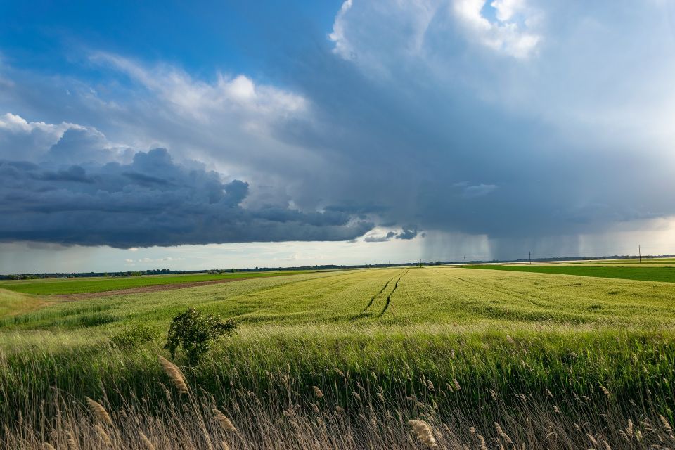
Deploying advanced sensory architecture, geospatial mapping pipelines, and macro environmental telemetry to turn agricultural unpredictability into stable, optimized physical yield matrices.
Explore Ag-Tech CapabilitiesReplacing traditional estimation with precision metrics. We implement live analytics infrastructures to increase resource efficiency and protect yield targets against volatile conditions.

Analyze microclimate data, historical trends, and dynamic bio-telemetry concurrently. Our systems build high-accuracy predictive regressions that forecast absolute biomass targets, maximize input efficiency, and track crop maturity parameters with pinpoint precision.

Calculate precise prescriptions for water, nitrogen, and crop protection inputs, lowering waste profiles while maximizing individual zone viability.

Architect robust, low-power outdoor telemetry frameworks. Build field arrays that pull direct metrics on moisture, sap-flow, and root metrics continuously.

Isolate localized anomalies before they cross macro-impact thresholds. We normalize multispectral satellite data and high-definition drone paths to deploy automated Normalized Difference Vegetation Index (NDVI) tracking anomalies across thousands of hectares simultaneously.
A data-to-field processing sequence constructed to streamline agricultural operational logistics and stabilize yields.
Aggregating multispectral imaging, remote telemetry metrics, and high-frequency soil array streams.
Isolating moisture bottlenecks, nutrient imbalances, and localized crop stresses from ambient variance.
Calculating custom application prescriptions and spatial tracking maps for variable rate machinery.
Feeding clear algorithmic tracking maps into commercial farm infrastructure to implement immediate field adaptations.
We validate precision engineering architectures against measurable efficiency gains, bringing predictive stability to crop logistics.

Significantly lower water allocation demands and input waste scales through targeted, sensor-driven dosing profiles.

Minimize sub-field performance anomalies to build uniform, robust crop volume outputs across diverse field parcels.

Incorporate historical chemical, water, and growth profiles into immutable data assets for regulatory compliance audits.